ChureAI
Satellite Imagery Segmentation
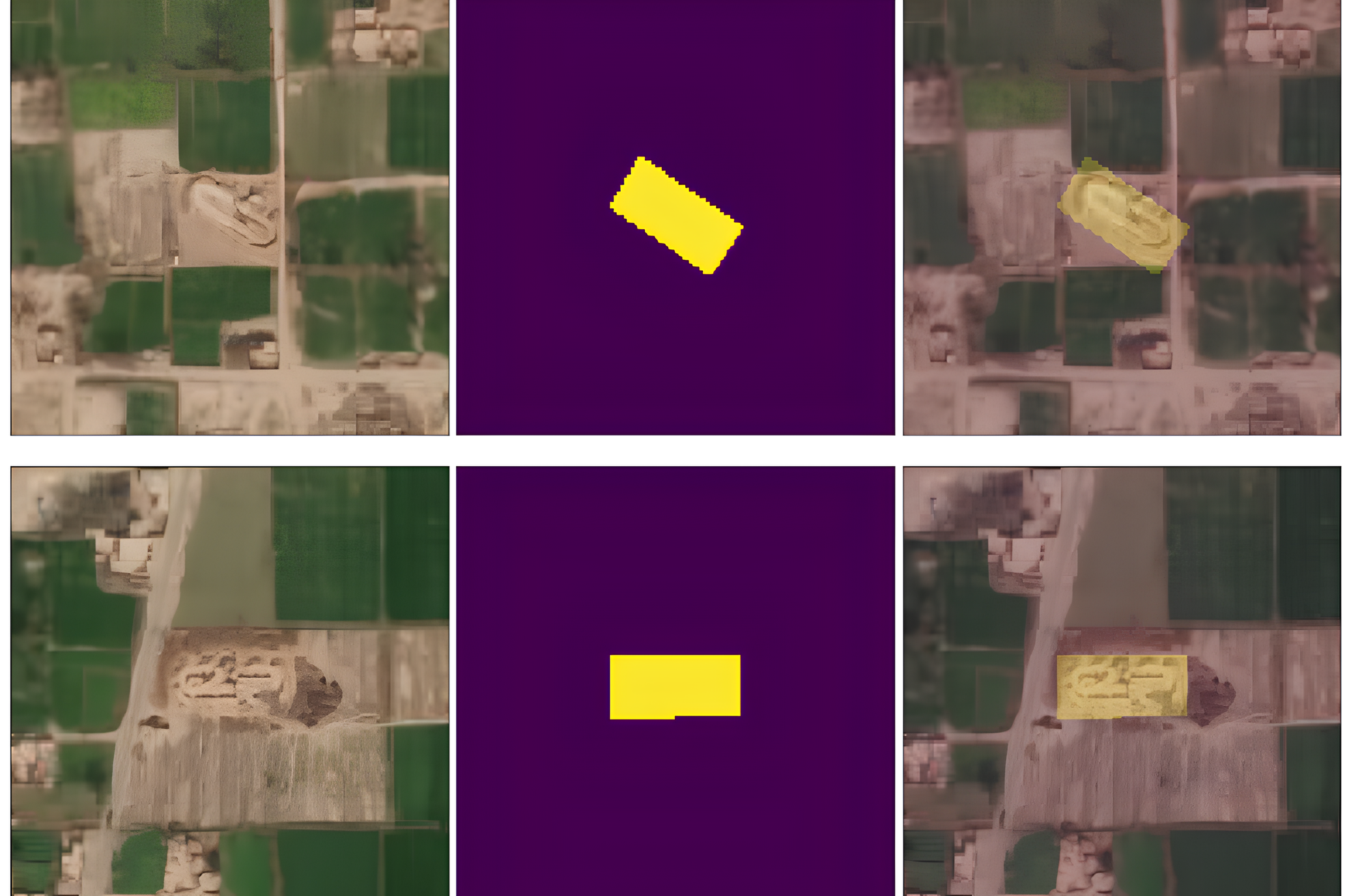
ChureAI aimed at developing a tracking system to detect Illegal Sand Mining usng LandSat Satellite Imagery, Tested a bunch of segmentation algorithms, trained U-NET2 with custom annotated imagery to monitor sand mining in River Sides of Chure Region with Vulnerable Habitat.
This project was a part of the UNDP Accelerator Program, collaborated with Diyo.AI and received a UNDP grant for completion, with a project duration of 6 months.
